
Home
About us
Destinations
Travel Guides
Recipes
Featured
Photos As Art
Abstract Prints
Locations
Travel Gear
Travel Resources
Favorites
Photo Framer
Explore Photos
Contact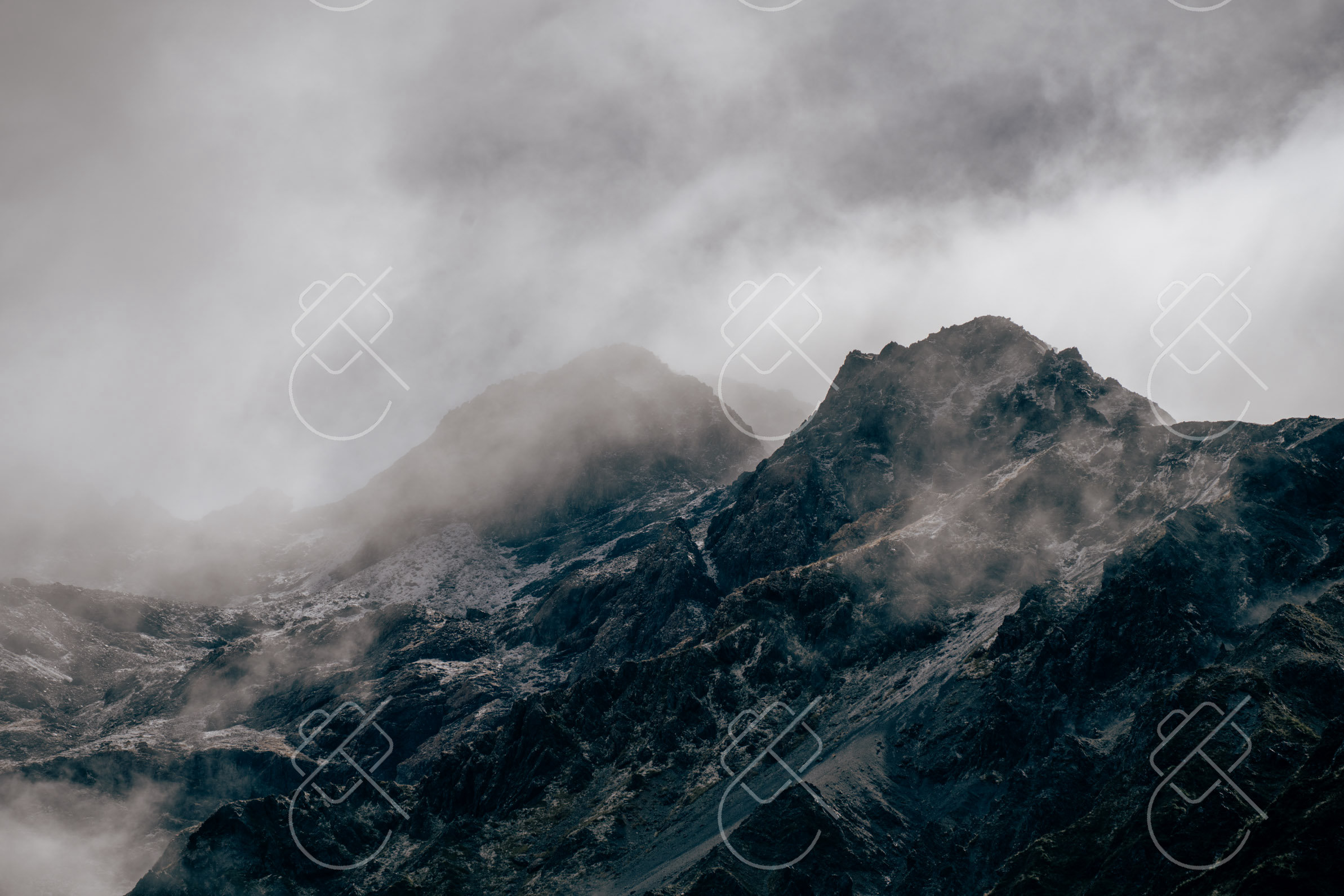 Road Trips & Transit
State Highway 73 over Arthur's Pass is one of the most spectacular alpine road crossings in the Southern Hemisphere, carving directly through the heart of the Southern Alps to link Christchurch on the east coast with the rugged West Coast rainforests at Greymouth. From ancient limestone boulder fields to towering alpine viaducts, this 230-kilometer route demands attentive mountain driving and rewards you with unforgettable wilderness vistas.
Published October 17, 2026
The direct drive between Christchurch and Greymouth via Highway 73 takes roughly 3 to 3.5 hours non-stop. However, plan for at least 5 to 6 hours to explore the dramatic natural landmarks along the way.
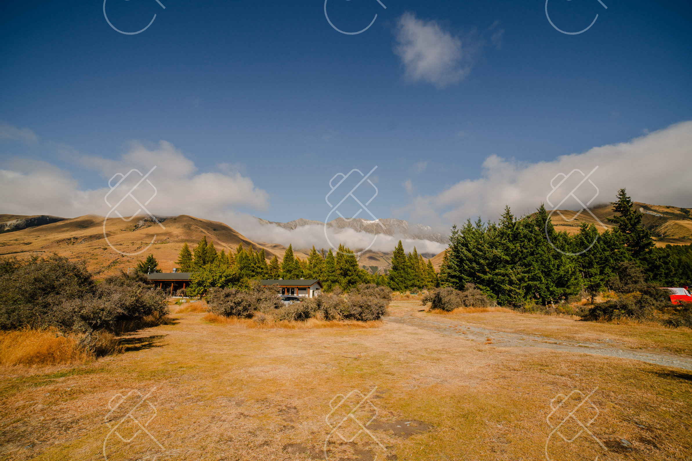
The road climbs gradually across the Canterbury Plains before ascending steeply into rugged alpine terrain reaching 920 meters above sea level at the pass summit. Unlike flat highways, Highway 73 features narrow bridges, single-lane tunnels, and sweeping switchbacks that require steady deceleration.
Castle Hill (Kura Tawhiti): Located 1 hour west of Christchurch, this sacred landscape features hundreds of colossal limestone boulders rising from rolling tussock hills. A 10-minute walk leads directly into a natural maze popularized by climbers and film crews.
Arthur's Pass Village & Devil's Punchbowl Waterfall: Stop in the alpine village for fuel and coffee, then hike the 1-hour return track (including 200 wooden steps) to the base of the thundering 131-meter Devil's Punchbowl Falls.
Otira Viaduct Lookout: Just past the pass summit, pull into the lookout overlooking the engineering marvel of the Otira Viaduct. Watch for wild Kea—the world's only alpine parrot—hanging around car mirrors and rubber roof trims (never feed them, as human food is toxic to them).
Between May and October, Arthur's Pass frequently experiences heavy snowfall, black ice, and sub-zero temperatures. The NZ Transport Agency (NZTA / Waka Kotahi) regularly mandates carrying snow chains for all vehicles.
Rental car contracts in New Zealand often void insurance coverage if you drive over alpine passes during snow alerts without chains. Check live highway conditions on the official NZTA journey planner before departing Christchurch, and avoid driving across the pass in total darkness.
Gas stations are extremely scarce between Springfield and Kumara Junction. Always fill your tank completely in Christchurch or Springfield before beginning the alpine ascent.
Mobile signal drops out completely for extended stretches through the national park gorge. Download offline Google Maps or Maps.me routes in advance. Remember to drive on the left side of the road and utilize paved slow-vehicle turnout bays (passing bays) to let faster local commercial traffic pass safely.
The TranzAlpine train is world-renowned for relaxed panoramic viewing, but driving Highway 73 gives you total freedom to stop at Castle Hill, hike Devil's Punchbowl, and photograph the Otira Viaduct at your own pace.
Yes, standard two-wheel-drive campervans and motorhomes can easily handle Highway 73 in dry conditions, provided drivers use low gear (engine braking) on steep Otira descents.
Yes, Arthur's Pass is one of the best places in New Zealand to encounter wild Kea. They are naturally inquisitive but strictly protected; never feed them or leave vehicle windows cracked.
Search verified local fleets with low security deposits and exact model delivery on Localrent.
Get the best deals on your New Zealand stay with Booking.com.