
Home
About us
Destinations
Travel Guides
Recipes
Featured
Photos As Art
Abstract Prints
Locations
Travel Gear
Travel Resources
Favorites
Photo Framer
Explore Photos
ContactArthur's Pass sits at 740 meters in the Southern Alps, roughly halfway along the road and rail route between Christchurch and the West Coast, and is one of the smallest and highest townships in New Zealand. The village exists because of the pass above it: a gap in the alps low enough for a road, discovered during an 1860s gold rush and later tunneled under by rail. Beech forest crowds right up to the last building, the weather can flip from clear to whiteout in an hour, and the local kea parrots treat every parked car as an open invitation.
Published July 18, 2026
Tap any photo to open it full-screen and order a print.
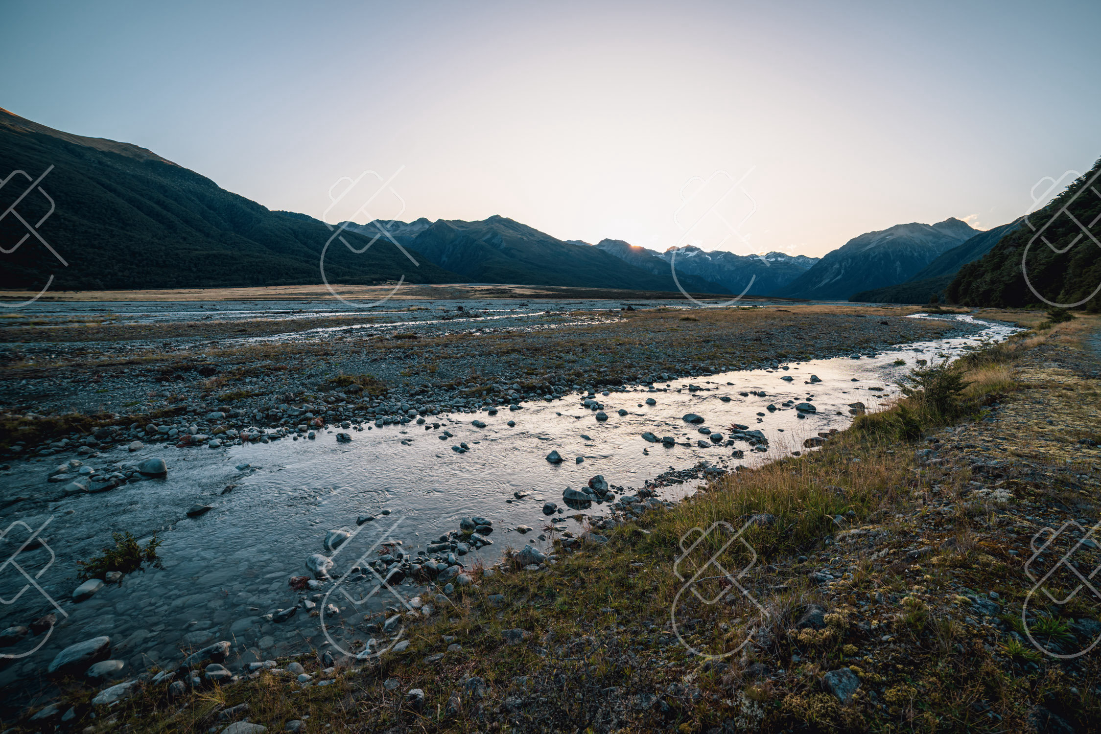
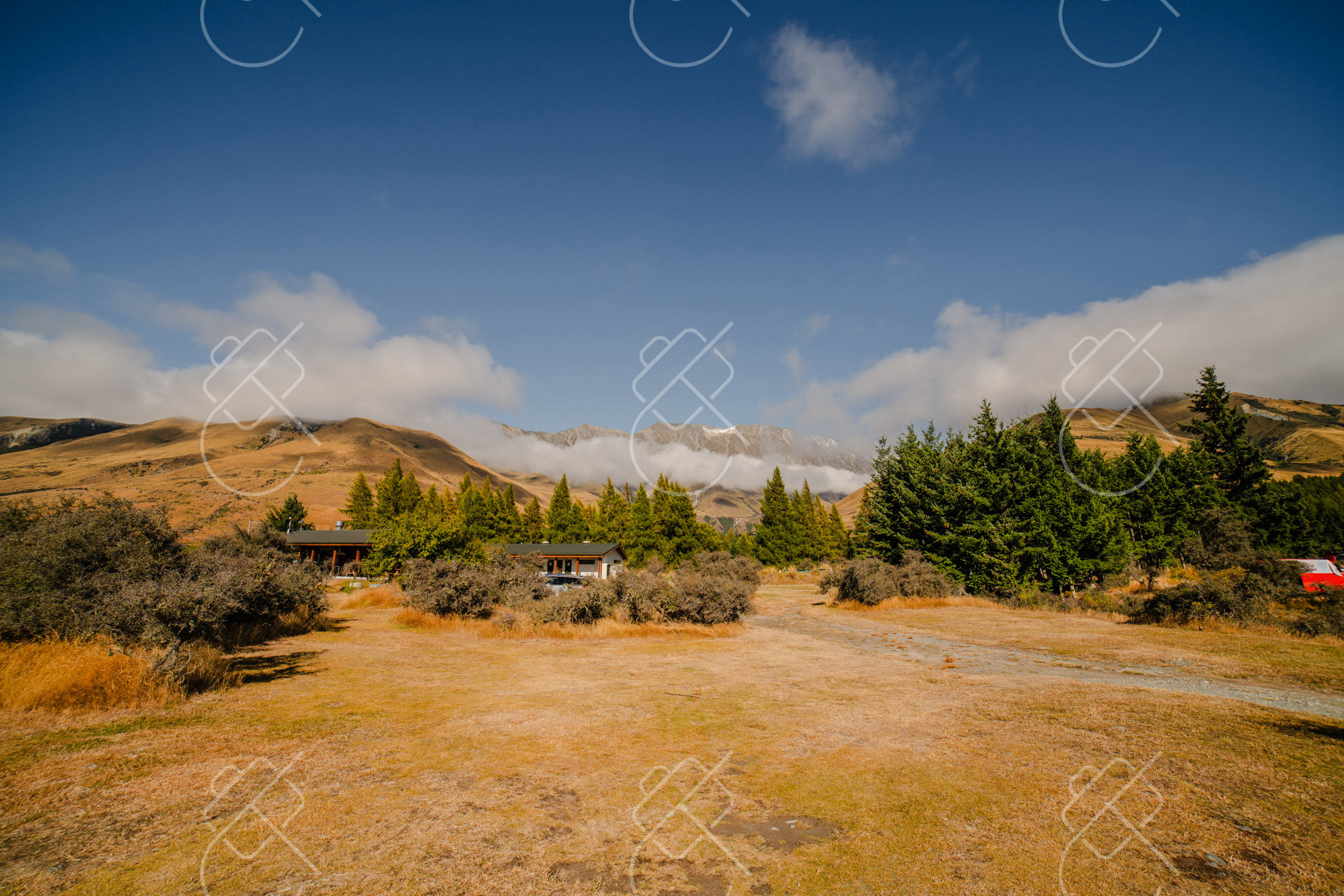
Arthur's Pass is a small alpine village built as a construction camp for a railway tunnel and never really stopped being one, a handful of buildings between beech forest and bare rock, at the highest point on the road between Christchurch and the West Coast.
The pass itself was surveyed in February 1864 by Arthur Dudley Dobson, sent to find a route across the Southern Alps as gold rushes on the West Coast created sudden demand for a road linking it to Christchurch. The road was built in under a year, a genuine feat of pioneer engineering given the terrain, and the settlement below it (first known as Bealey Flats) grew up decades later as a work camp for the Otira Tunnel, whose construction started in January 1908. The tunnel took 15 years to finish, opening in 1923 as the longest tunnel in the British Empire at the time. The TranzAlpine passenger train still runs through it today on its 223-kilometer run between Christchurch and Greymouth, and Arthur's Pass railway station, right in the village, is the highest operating station in the country.
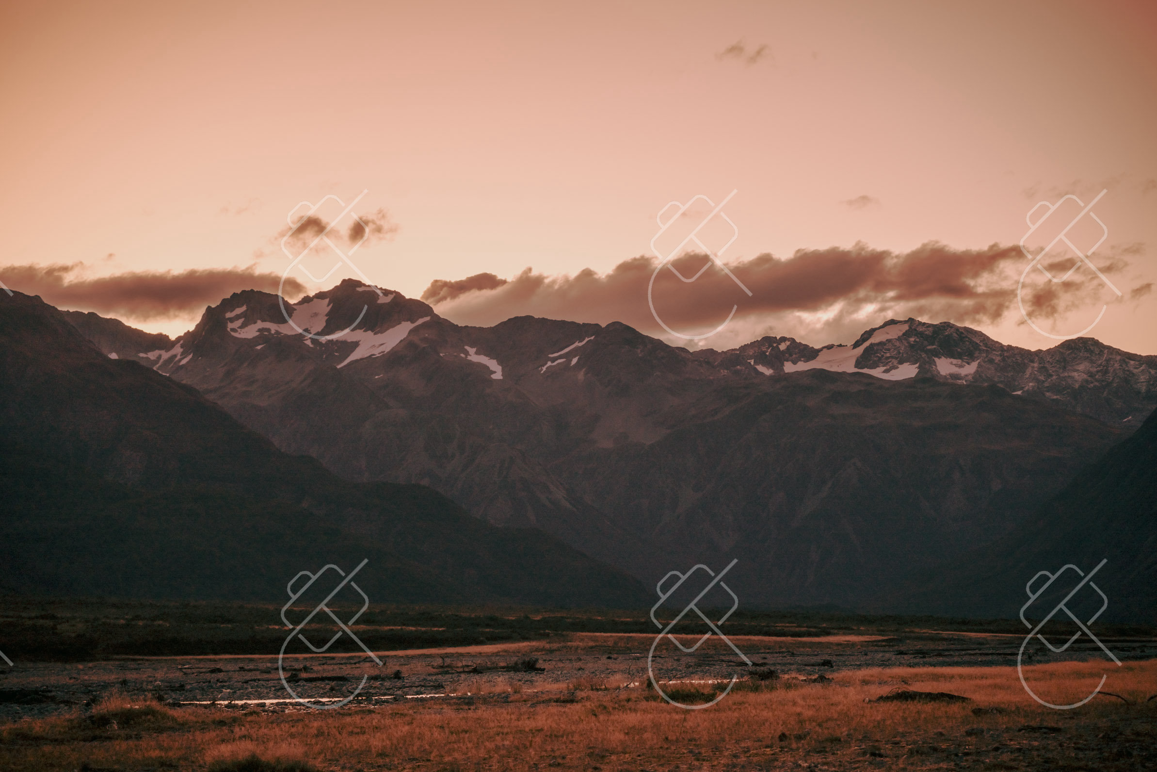
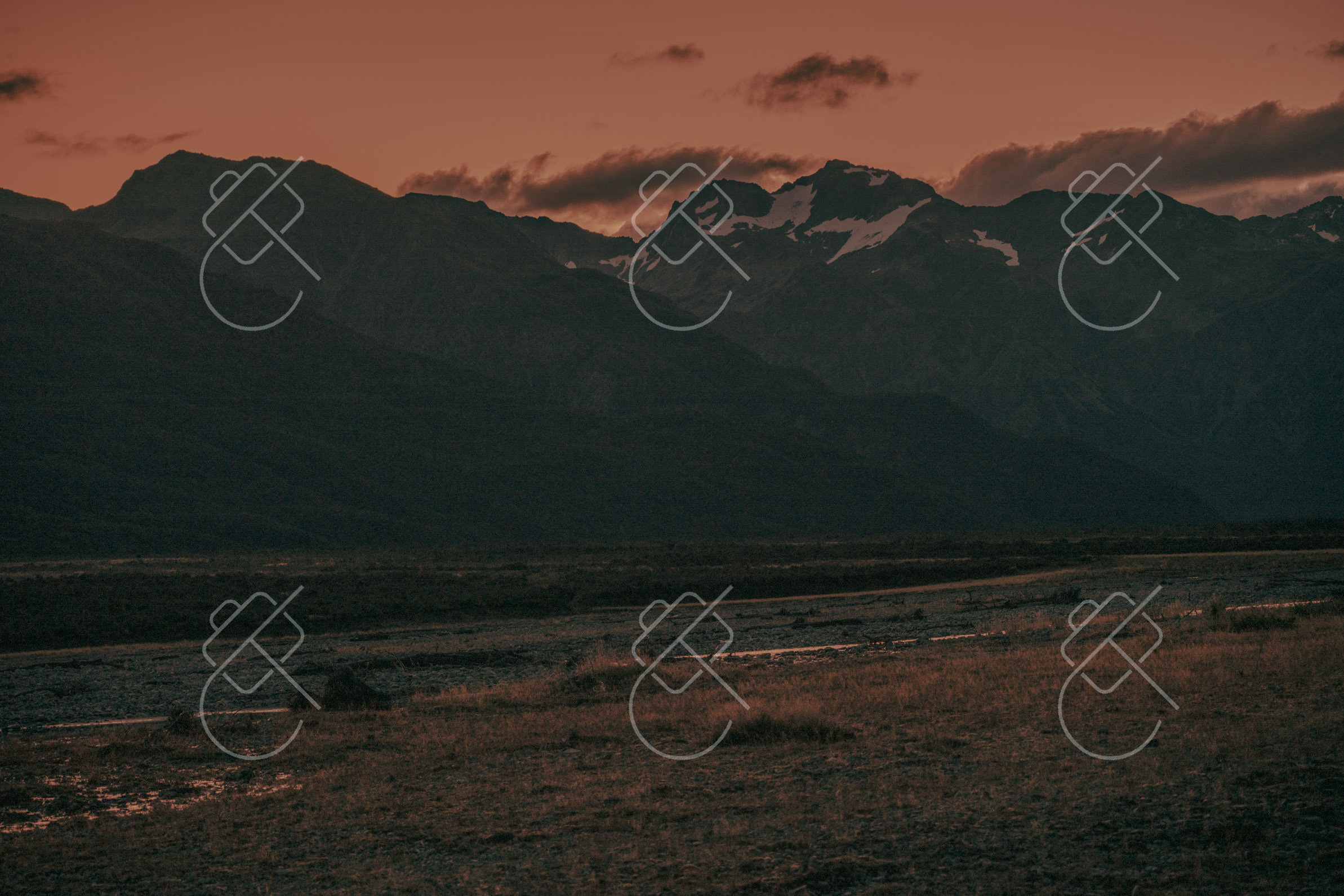
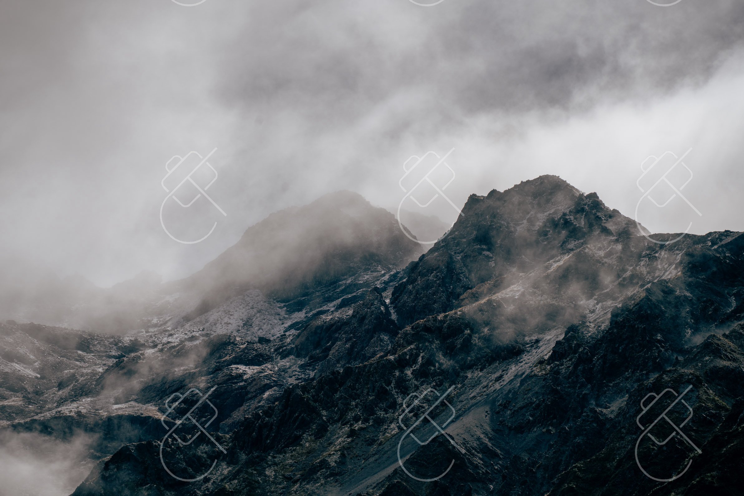
Cloud wrapping the peaks above Arthur's Pass
The village itself is tiny, a few dozen year-round residents, one general store, and the Wobbly Kea Cafe & Bar across from the national park visitor centre, in a building that was once home to an early-1900s ski and mountaineering equipment business. Arthur's Pass National Park, established in 1929 around the village, was the first national park on the South Island and the third in New Zealand, and its beech forest and scree slopes are the reason kea, the mountain parrot found almost nowhere else, show up here reliably enough that DOC signage warns drivers not to feed them or leave car windows open. They're notorious for stripping rubber trim and wiper blades off parked vehicles out of pure curiosity.
Late in the New Zealand summer (February to March) for the most reliable weather on the pass, though the road and village stay open year-round. Winter brings snow and occasional closures.
There's little reason to base anywhere but the village itself. It's tiny, everything is walkable, and staying elsewhere on the pass means driving the same mountain road twice.
The Wobbly Kea Cafe & Bar is the village's one real sit-down option: pub-style food, dressed pies, and a fireplace to dry out at after a wet trail.
Do the Devils Punchbowl walk before settling in anywhere else. It starts a few minutes' walk from the village center, and the weather at this elevation can close in by early afternoon even on a clear morning.
Get the best deals on Arthur's Pass hotels on Expedia before prices climb.
Transit cards, local customs, visa rules, and practical travel guides for this region.
See every destination from the 526-day journey:
Browse all destinationsCurious about the gear behind these photos? See the gear list.