Home
About us
Destinations
Travel Guides
Recipes
Featured
Photos As Art
Abstract Prints
Locations
Travel Gear
Travel Resources
Favorites
Photo Framer
Explore Photos
ContactTropical North Queensland stacks three very different landscapes within a few hours of each other: a granite-boulder island where wild wallabies gather on the rocks, a reef city built around a swimming lagoon because the ocean itself isn't safe to wade into, and a stretch of rainforest old enough to hold some of the world's most primitive surviving flowering plants. The wet and dry seasons split the year cleanly here, and what's comfortable to do — swim, hike, dive — depends heavily on which half of the year you land in.
Published July 12, 2026
Tap any photo to open it full-screen and order a print.
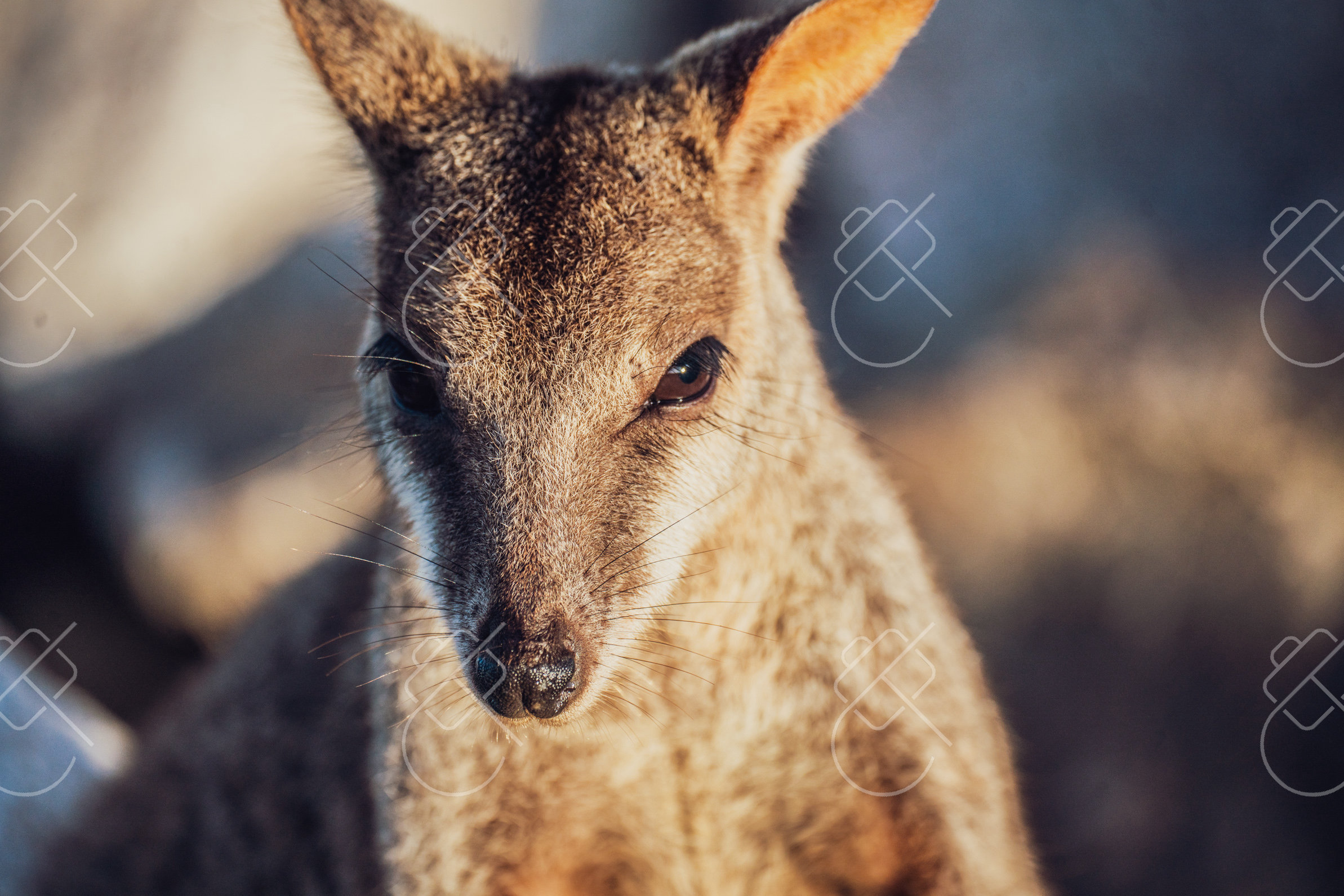
A granite-boulder island 8 kilometers off Townsville, more than three-quarters national and conservation park, where wild rock-wallabies gather on the rocks and koalas are easier to spot than almost anywhere else in Australia.
Captain Cook named the island on June 6, 1770, after his compass behaved oddly as HMS Endeavour passed by — his journal records that "the Compass did not travis well when near it" — though later surveys have found no real magnetic anomaly in the granite. A 20-minute SeaLink ferry crosses Cleveland Bay from Townsville's Breakwater Terminal to Nelly Bay; more than three-quarters of the island's 5,184 hectares are protected as national or conservation park, and its coastline is stacked with granite boulders and tors from an intrusion roughly 255-280 million years old. Wild Allied Rock-wallabies gather on the rocks at Geoffrey Bay, most reliably in the late afternoon.
The Forts Walk, a 3.8-kilometer heritage trail, traces a WWII gun battery built starting September 28, 1942, and completed by mid-1943 to guard the shipping approach into Cleveland Bay — two 155mm French-pattern guns, twin searchlights, and a radar post once watched this stretch of coast. The same trail is now one of the most reliable places in the country to see a wild koala, not because the island holds an unusually large population but because it sits near the species' northern range limit, where koalas live at low densities in more open, visible habitat rather than hidden deep in tall forest. Horseshoe Bay's three-kilometer curve of white sand is the island's largest beach; Radical and Balding Bays, reachable only on foot, are quieter.
May through October, the dry season, avoiding both the wet-season storms and the marine-stinger season that runs November through May in the surrounding waters.
Horseshoe Bay or Nelly Bay, both with easy access to the ferry terminal and the island's main bus route.
Fresh-caught reef fish and tropical fruit from the beachfront cafes above Horseshoe Bay.
Head to Geoffrey Bay in late afternoon for wallabies, but don't feed them — the island's wallabies are already bold enough from past tourist feeding to cause real problems.
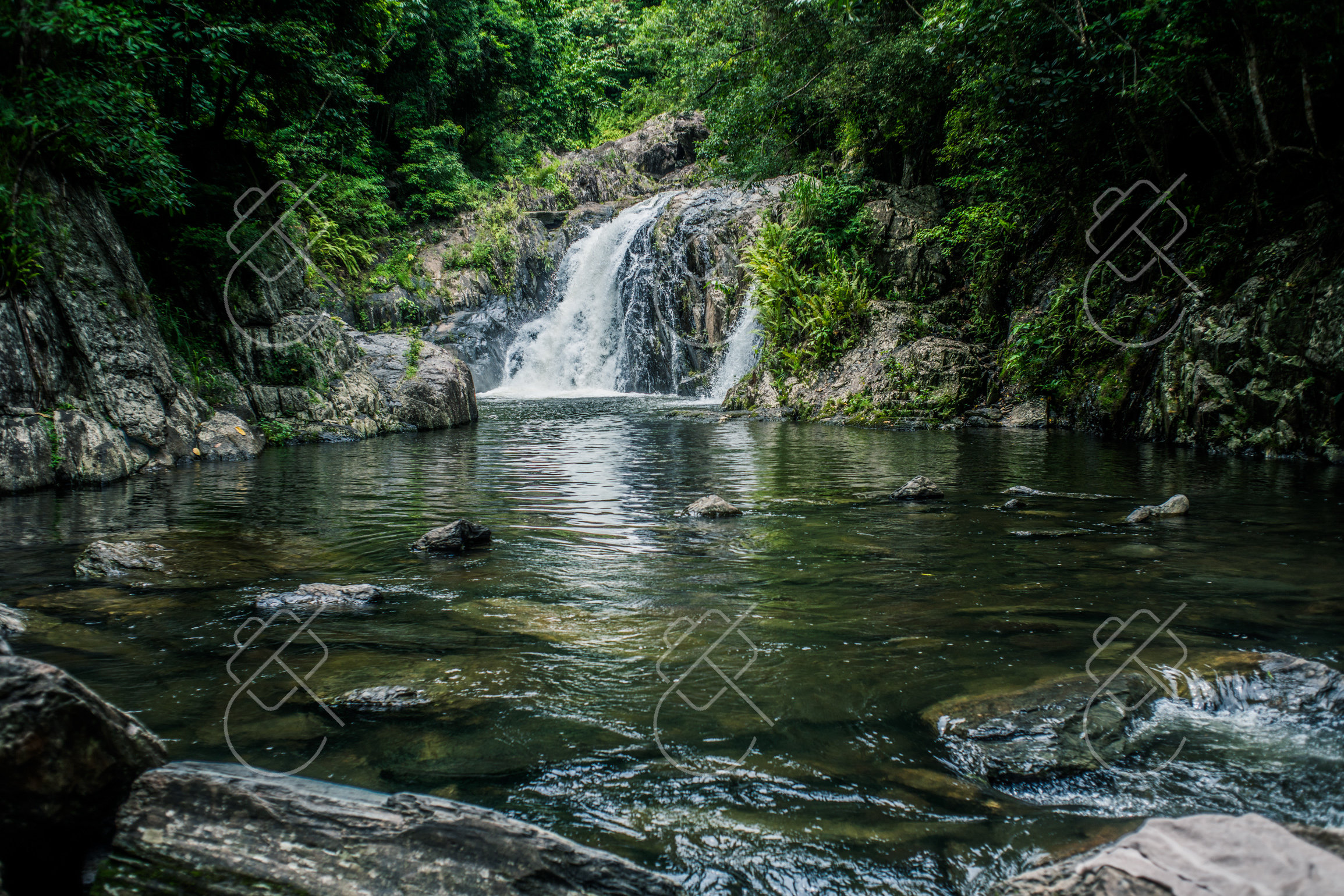
The main gateway to both the Great Barrier Reef and the Daintree, built around a free public swimming lagoon since the natural shoreline itself isn't swimmable.
The Cairns Esplanade Lagoon opened on March 29, 2003 — a free, roughly 4,000-to-4,800-square-meter saltwater-style pool built after channel dredging left the original Esplanade shoreline as unswimmable mudflats. It doubles as a stinger-free, croc-free alternative during the region's November-to-May marine-stinger season, when open-water swimming carries real risk. From the Cairns waterfront, day boats reach Green Island (about 27 kilometers, 45 minutes) and Fitzroy Island (about 29 kilometers, 45 minutes), while the outer reef itself sits roughly 25-60 kilometers offshore, 60-90 minutes out by boat, with Michaelmas Cay a common first stop for snorkelers.
Inland, Crystal Cascades — a sealed 1.2-kilometer path to a run of waterfalls and rock pools on Freshwater Creek, about 20 minutes from the city center — is the easiest rainforest swimming spot reachable without committing to a full-day trip. The Skyrail Rainforest Cableway, 7.5 kilometers long and opened on August 31, 1995, carries gondolas from Smithfield over the rainforest canopy to the mountain village of Kuranda in around 90 minutes, passing two mid-route stops at Red Peak and Barron Falls; it was the longest cableway of its kind in the world when it opened.
May through October for the clearest reef visibility and to avoid marine stingers; book reef trips in advance during the busier June-August months.
The Esplanade waterfront, within walking distance of the lagoon and the reef-boat departure docks.
Fresh Coral Sea seafood along the Cairns waterfront, or a tropical-fruit breakfast — mango, lychee, dragon fruit — from the stalls at Rusty's Markets.
Swim in Crystal Cascades' lower pools rather than jumping from the rocks above — it's a genuine, frequently-flagged injury risk there, not just a formality.
Golden orb-weaver spiders are common in the undergrowth here too, their fist-sized females up to ten times the length of the much smaller males.
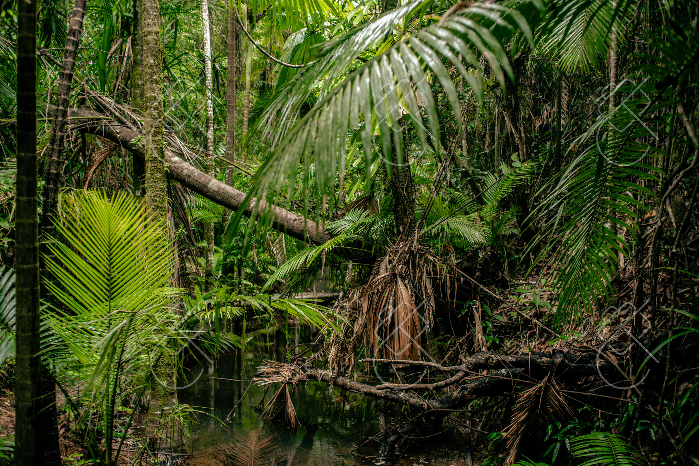
Part of the Wet Tropics of Queensland World Heritage Area, among the oldest continuously surviving rainforests on Earth, running all the way down to the sand at Cape Tribulation.
UNESCO listed the Wet Tropics of Queensland as a World Heritage Area on December 9, 1988, covering roughly 893,000 hectares that hold somewhere between 13 and 16 of the world's most primitive surviving flowering-plant families. Saltwater crocodiles patrol the Daintree River, and operators like Solar Whisper Eco Tours — running quiet, solar-powered boats since 2002 — take visitors out to spot them; Queensland's official crocodile-safety guidance is blunt that no waterway within a croc's range should ever be treated as croc-free. The Daintree Discovery Centre's elevated boardwalk network runs over 400 meters total, including a 125-meter, 11-meter-high aerial walkway and a 23-meter canopy tower open to visitors since June 26, 1989, with the 23-meter canopy tower and aerial walkway added in 1998.
Cape Tribulation, where the rainforest runs straight down to sandy beach at the edge of the Great Barrier Reef Marine Park, takes its name from Captain Cook, who ran HMS Endeavour aground on a reef here on June 10, 1770, and wrote in his journal that this was where "begun all our troubles." The rainforest's signature bird is the cassowary, a large flightless species and the only animal able to disperse the seeds of dozens of the forest's largest-fruited trees — listed as Endangered within the Wet Tropics under Australia's federal environment law, with the regional population estimated at around 4,400 birds. Golden orb-weaver spiders are common in the undergrowth here too, their fist-sized females up to ten times the length of the much smaller males.
May through October, the dry season, for firmer trails and lower humidity; the November-April wet season brings the heaviest rain and the most mosquitoes.
A jungle eco-lodge along the Daintree access road, most offering their own guided night walks.
Fresh tropical fruit — custard apple, black sapote, soursop — from small roadside stalls along the Daintree access road.
Stay at least 5 meters back from the water's edge anywhere along the Daintree River — Queensland's crocodile-safety guidance applies here year-round, not just in a defined "crocodile season."
Explore regional routes with verified local fleets, zero hidden charges, and transparent insurance on Localrent.
Get the best deals on a hotel in Queensland before you book elsewhere — Booking.com.
Transit cards, local customs, visa rules, and practical travel guides for this region.
See every destination from the 526-day journey:
Browse all destinationsCurious about the gear behind these photos? See the gear list.