When we needed altitude, this is where we went.
Tap any photo to open it full-screen and order a print.
01 / 06
Milford Sound, New Zealand
Milford Sound, in Fiordland National Park, is a glacier-carved fiord where sheer cliffs rise more than a kilometer straight from dark water. Among the wettest inhabited places on Earth, its frequent rain feeds hundreds of temporary waterfalls that pour from the cliffs.
Despite its name, Milford Sound is technically a fiord, gouged by glaciers and flooded by the sea. Mitre Peak, rising 1,692 meters almost directly from the water, is its defining landmark, a peak that shows up on more New Zealand postcards than almost anything else in the country. The fiord lies within Te Wahipounamu, a UNESCO World Heritage area, and is reached by a single road from Te Anau that itself passes alpine valleys, the Mirror Lakes and the Homer Tunnel.
Explore Milford Sound, New Zealand →02 / 06
Wanaka, New Zealand
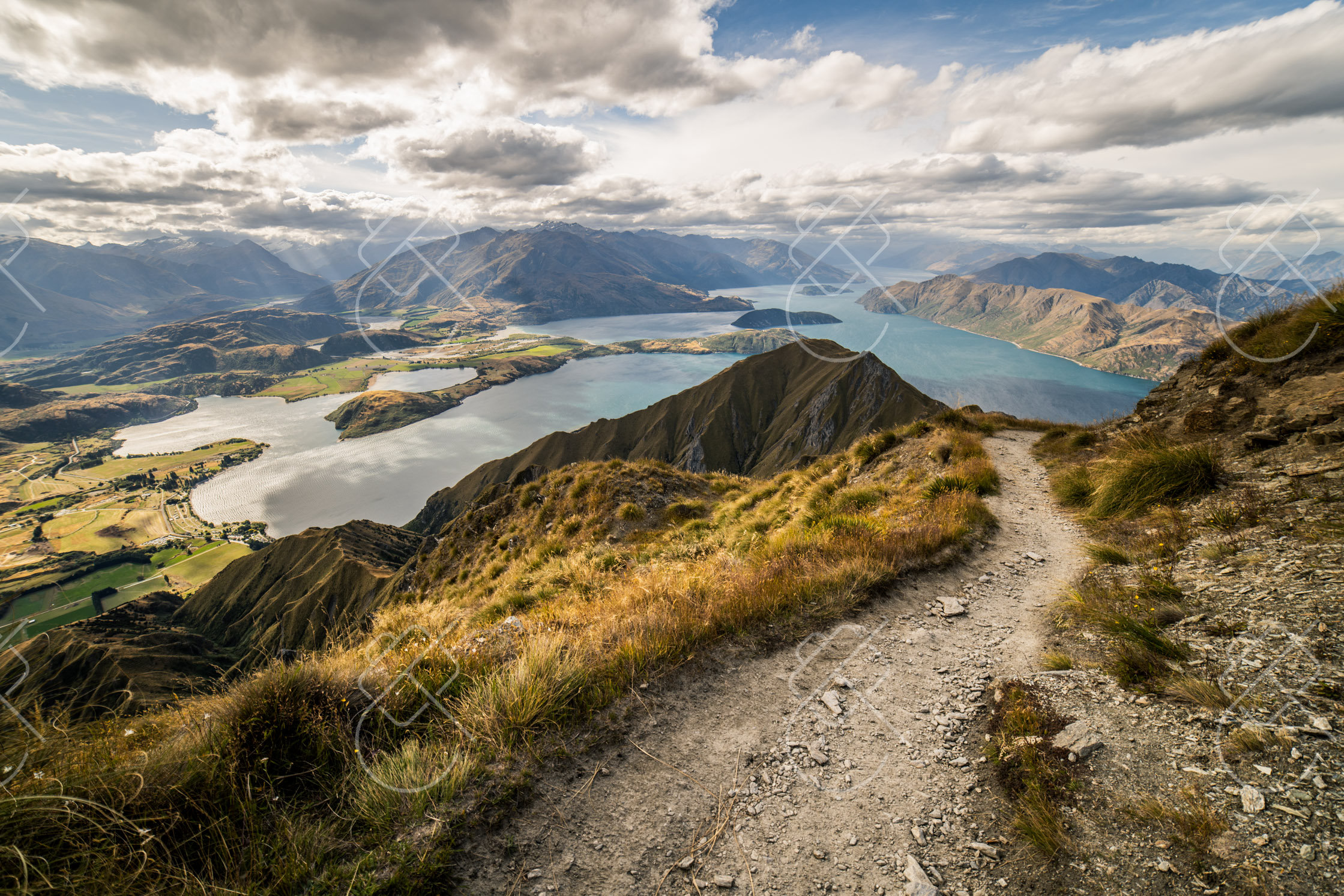
Wanaka is a lakeside town on the shore of Lake Wanaka, surrounded by the peaks of Mount Aspiring National Park. Quieter than nearby Queenstown, it is a base for alpine walks and is known for a single lone willow tree standing in the lake.
The town sits at the southern end of Lake Wanaka, with the snow-capped mountains of Mount Aspiring National Park rising beyond. The most famous photographic subject is #ThatWanakaTree, a lone crack willow growing in the shallows of the lake — its own hashtag and a small crowd of tripods most mornings, especially when the bare winter branches catch sunrise or sunset.
Explore Wanaka, New Zealand →03 / 06

Fox Glacier, New Zealand
Fox Glacier is one of two glaciers on the West Coast that descend through temperate rainforest to near sea level, an unusual combination of ice and lush green valley. The small township of the same name sits below it, close to a mirror-like reflective lake.
Fox Glacier and the nearby Franz Josef Glacier flow down from the Southern Alps within Te Wahipounamu World Heritage Area, reaching unusually low altitudes for glaciers at this latitude. Heavy West Coast rainfall feeds the snowfields that sustain them, and the valleys they have carved are framed by dense rainforest, giving the rare sight of ice set against subtropical greenery. The glaciers have retreated significantly in recent decades.
Explore Fox Glacier, New Zealand →04 / 06
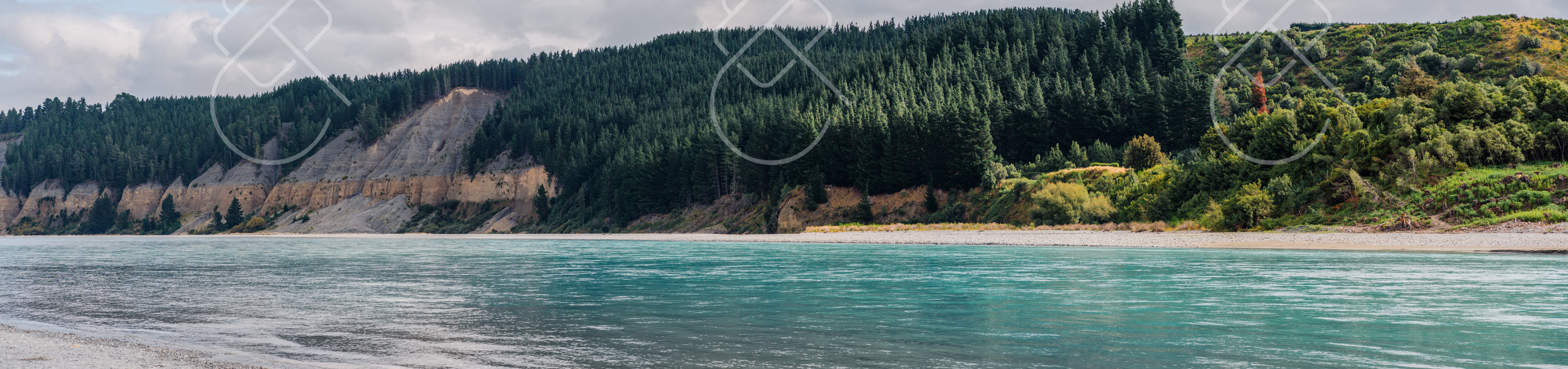
Lake Pukaki, New Zealand
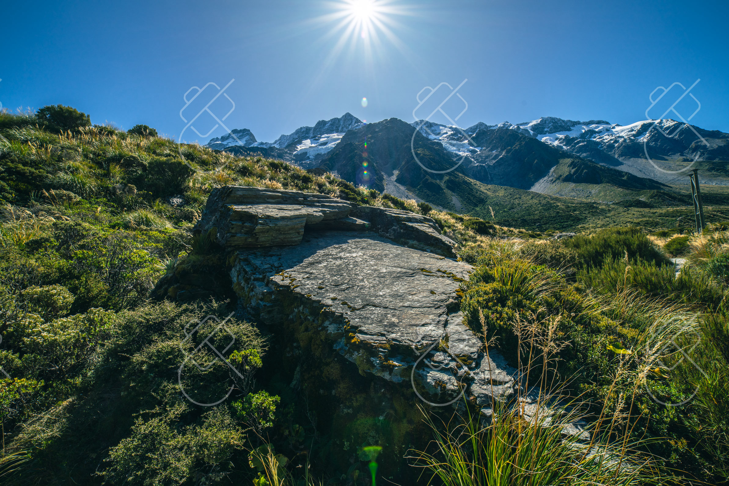
Lake Pukaki is a glacier-fed lake in the Mackenzie Basin whose intense turquoise color comes from finely ground rock flour suspended in its meltwater. At its head rises Aoraki / Mount Cook, the highest mountain in New Zealand.
The lake's vivid milky-blue is the result of glacial flour — rock ground to powder by glaciers and carried down in meltwater, which scatters light to produce the striking color. Fed by the Tasman and other glaciers, Lake Pukaki points directly at Aoraki / Mount Cook, which at 3,724 meters is the country's tallest peak, making the lake's northern shore a spot where tour buses regularly stop just for the view.
Explore Lake Pukaki, New Zealand →05 / 06
Hakone, Japan
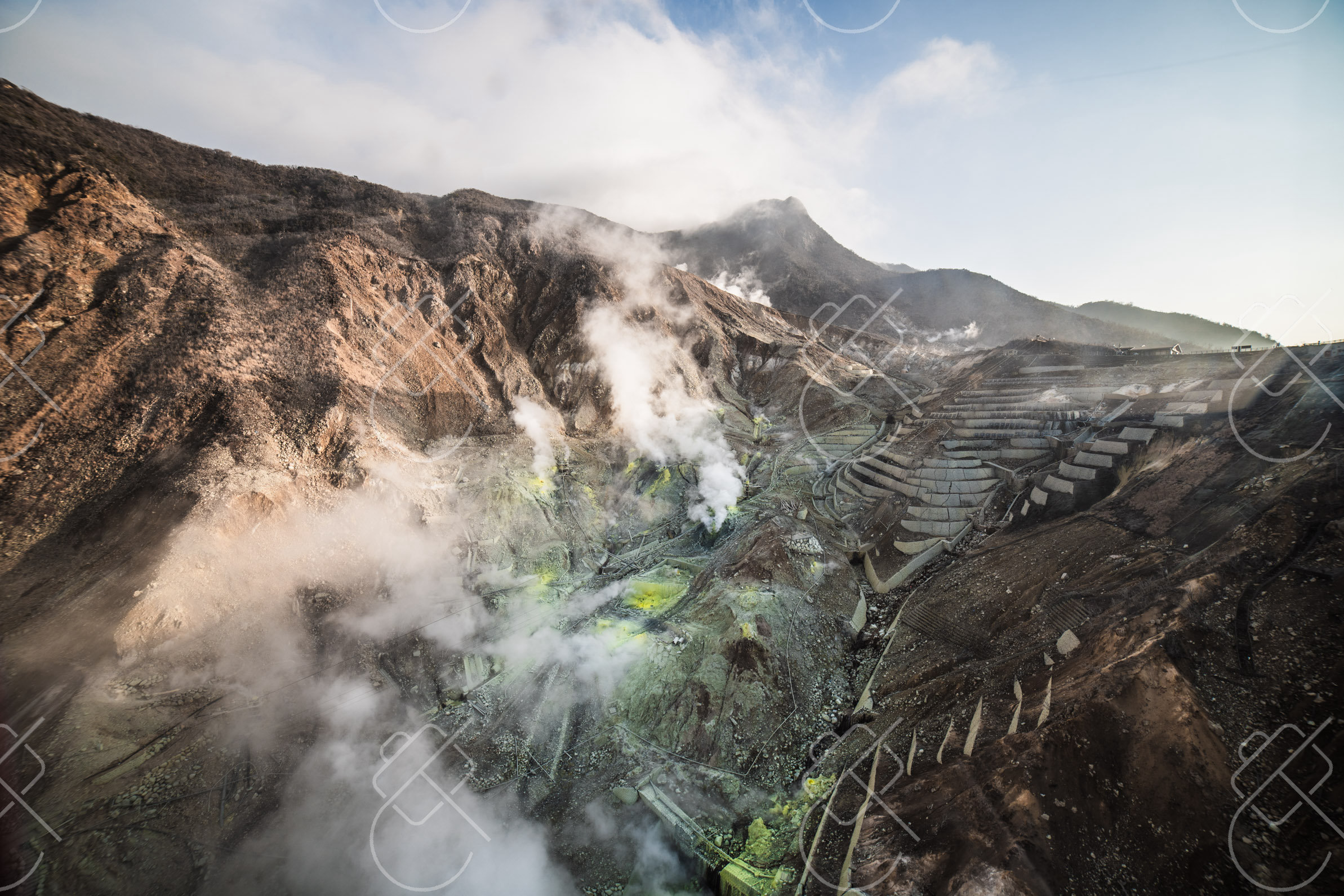
A mountain hot-spring resort with volcanic valleys and Mount Fuji views.
Hakone is a mountainous hot-spring region in Fuji-Hakone-Izu National Park, long popular as an escape from Tokyo roughly an hour and a half away. Set around the caldera of an active volcano, the area combines steaming sulfur vents, a crater lake and traditional ryokan inns built around natural onsen baths. It is one of the most reliable places near the capital to see Mount Fuji.
Explore Hakone, Japan →06 / 06
Kintamani, Indonesia
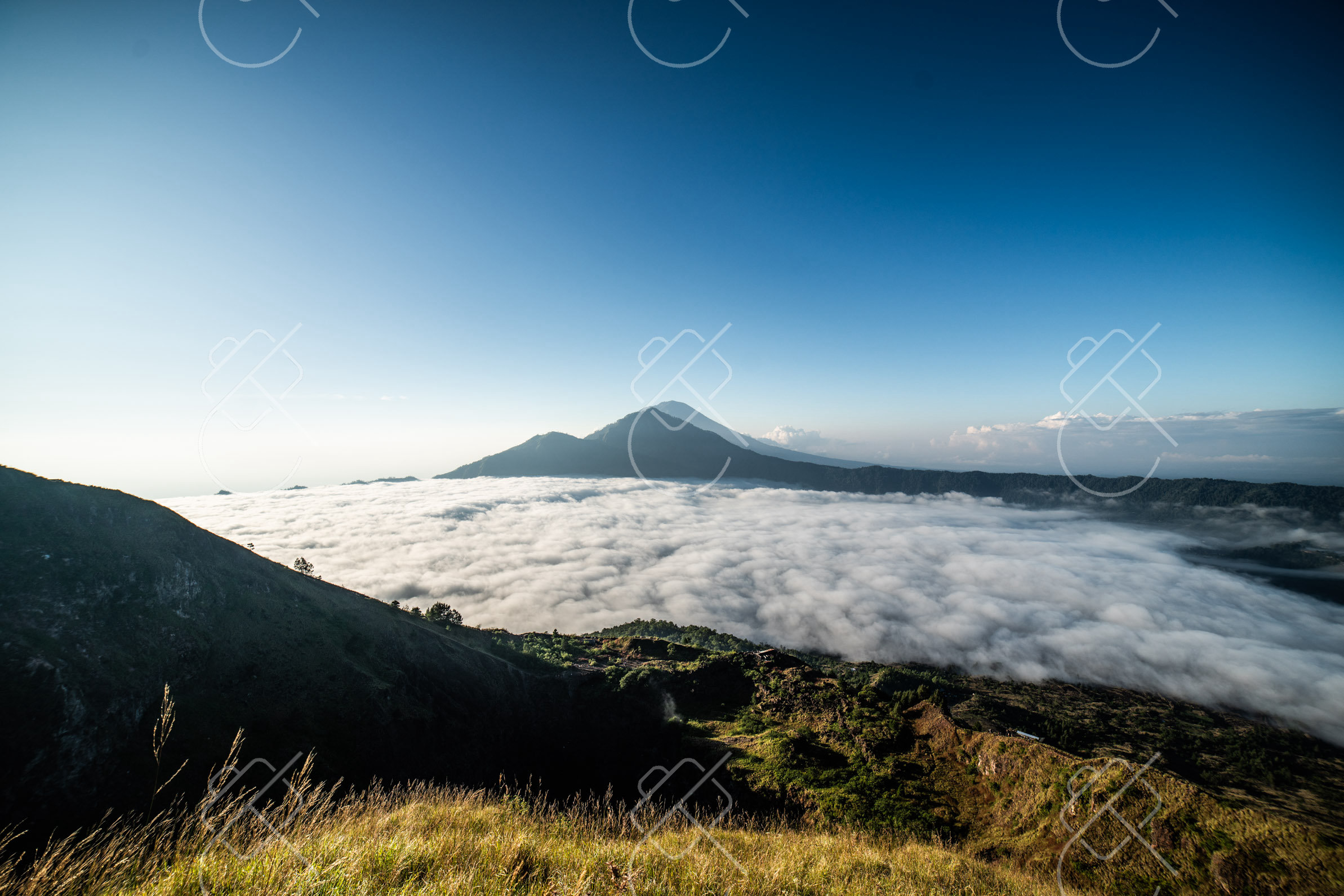
Kintamani, in Bali's northeastern highlands, overlooks the vast caldera of Mount Batur, an active volcano rising above a crescent crater lake. The cool, elevated region is known for sweeping volcanic views and sunrise treks.
The Kintamani region sits on the rim of an ancient caldera, with the active cone of Mount Batur, at around 1,717 meters, rising from the caldera floor beside the dark expanse of Lake Batur, the largest lake on Bali. The whole landscape is part of a UNESCO Global Geopark. Viewpoints and restaurants along the rim look out across the volcano and lake, and the cooler air at altitude contrasts with the lowland heat.
Explore Kintamani, Indonesia →